


Learn about the trail – the who, what, when, where, and why.

What is a “birding trail”?
Birding Trails educate and excite the public by immersing them in nature, involving them in citizen science (eBird and iNaturalist), and increasing their awareness of the complex and fragile nature of the environment.
Birding trails are a driving path to the best birding and nature locations in the Upper Peninsula, Michigan, and throughout the United States. It is typically presented on a fold-out paper map and a comprehensive website. The paper map displays locations and provides general information on birds, natural history, directions, and site facilities. The website offers more in-depth information and a wider range of sites than the paper map.

Why are we building a birding trail?
We are continuing the efforts of others by expanding the Upper Peninsula bird trail system into five more counties. Currently, the UP has two birding trails, North Huron and Shore to Shore. These and future trails, such as the NWBT, provide the nature-loving public with easier access to many beautiful and diverse birding locations. Data shows these trails boost the local economies in many areas. Many communities in the Eastern UP have found this to be the case. And, WE JUST LOVE BIRDS and respect nature.
Our Focus
- Achieve through education, public recognition of the value and need for protecting and preserving wildlife, plants, soil, water, and other natural resources, as well as an understanding of their interdependence;
- Promote interest in our native birds and their habitats because of their significant economic, cultural, and recreational value; and
- Aid the Michigan Audubon Society and other conservation organizations in the study, conservation, and research efforts that will protect the future of our natural world. .

Where will the NWBT be located?
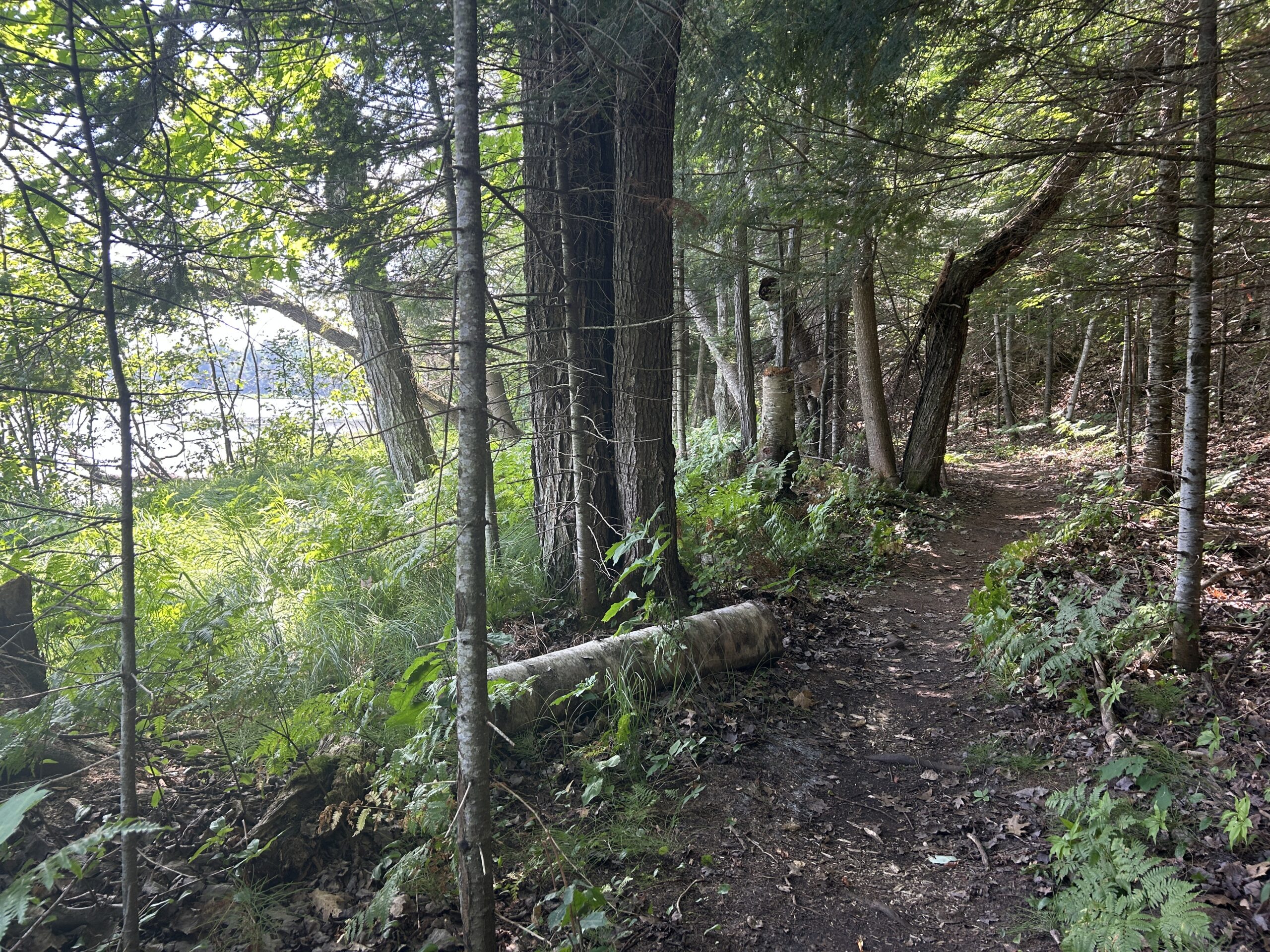
The North Woods Birding Trail will begin where the Shore-to-Shore Trail ends, in central Schoolcraft County, to cover locations in Schoolcraft, Delta, Alger, Marquette, Dickinson, and Menominee Counties. The trail will be divided into six or more practical driving paths. The majority of sites are already Cornell eBird hotspots, but that is not the only criterion for inclusion. We consider unique habitats, scenic beauty, and local importance. Each site is also being evaluated for possible inclusion in the Audubon Birdability Program, a nationwide system of accessible birding sites for people with disabilities.

THE PLAN
Beginning in 2024, members of the Laughing Whitefish Bird Alliance met to discuss establishing a birding trail in the Central U.P. We reached out to Elliot Nelson from MSU Extension, members of the Michigan DNR, and many others who were involved with creating the North Huron and Shore to Shore trails. With their help, we held a Kick-off meeting in March 2025, attended by many community leaders, conservation district managers, DNR biologists, representatives from The Nature Conservancy, Upper Peninsula Land Conservancy, Michigan Audubon, CUPPARD, Superior Watershed Partnership, U.S. Forest Service, and National Park Service. Everyone was very excited and supportive of the trail formation. We are currently visiting potential trail sites to collect vital information to assess their suitability. and completing graphic design work for the maps, signage, and website. We hope to complete the assessments before winter. Once we create a budget, we need to reach out to our partners for financial support, writing grants, and possibly sponsoring fundraisers. In 2026, the trail sites will be finalized, the website and maps will be created, the signs will be produced and installed, and we hope to host big kick-off events in the local communities. Are you excited yet? We sure are.

How can you help?
We need your advice, suggestions, and your local bird and community knowledge. Currently, we have enough volunteers doing site assessments in most areas. But we might need a hand in Delta and Menominee County. During the winter, we plan to reach out to birders who are listed in eBird as very active at specific sites; we need to tap their brains for birding information. Generally speaking, if you have any suggestions about sites, birding data, or natural history resources that might be useful, please email us at any time. This is everyone’s trail, and we hope everyone will feel included. If we missed inviting you to the partners’ kick-off, please reach out, and we will come see you as soon as possible.
North Woods Birding Trail Facebook Page – regular progress updates, news, photos, and information.
AND HERE IT IS!
Check out the map below. (best viewed on a computer) Click on the full screen icon in the top right corner to view a list of the six trail sections and the proposed sites. Please note: the map is dynamic, changing as we progress through our site assessments and discussions with local communities. Some sites will be added, some deleted. The final map will be much easier for users to navigate.
MAKE A SITE SUGGESTION USING THE COMMENT SECTION BELOW
LEARN MORE USING THE LINKS BELOW
North Woods Birding Trail Facebook Page – regular progress updates and news, with site photos and birding information.
Michigan Audubon Birding Trails
PLEASE SHARE YOUR COMMENTS, IDEAS, and SUGGESTIONS in the space below.
We would love to hear from you. There will be more features added in the coming months. Thanks for visiting.